Earthworks of Eastern North America
Mound City and Chillicothe
|
|
Mound City Group, Hopewell Culture National
Historical Park
Inside an earthen enclosure over 2000 feet wide, a
concentration of burial mounds yielded a wealth of artifacts when
excavated. Mound City Group is one of several ancient earthworks
now owned by the National Park
Service. |
 |
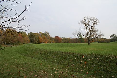
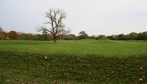
This image views the enclosure wall and several
mounds from the NW corner, looking east. The corners of the enclosure
walls are somewhat rounded. |
|
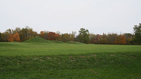
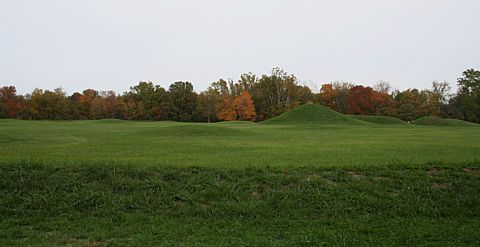
| This image views Central Mound, the tallest
mound. |

|
|
|
| From the largest Mound City mound to Hopewell
Mound equals 0.0002 circumference distance, 1/5,000th. |

|
|
|
Site Coordinates
|
| Longitude |
Latitude |
Location |
| 83.002472 |
39.373222 |
Mound City SE embankment line intersection |
| 83.006111 |
39.377417 |
Mound City NW embankment line intersection |
| 83.005361 |
39.375083 |
Mound City SW embankment line intersection |
| 83.004431 |
39.376306 |
Mound City Central Mound, mean 2 GPS |
Google
Earth placemarks file displaying GPS readings. |
|


